Savannah / Hilton Head International Airport (SAV)
Orientation and Maps
(Savannah, Georgia (GA), USA)
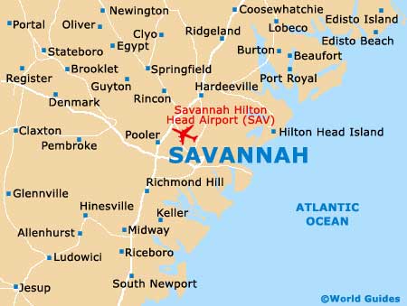
It is easy to be captivated by the coastline and islands around Savannah, which lie to the southeast of the city center. Savannah lies around 18 miles / 29 km from the coast and is centered around the winding Savannah River and Lowcountry moors.
To the northwest and close to Port Wentworth you will find Savannah Hilton Head International Airport (SAV), off the I-16 interstate. Regular long-haul buses arrive daily from Atlanta, Charleston and Jacksonville, being operated by Greyhound. The bus terminal is situated along West Oglethorpe Avenue, while those arriving by train will find the Amtrak train station approximately 4 miles / 6 km from Savannah's gold-domed City Hall.
Savannah International Airport (SAV) Maps: Important City Districts
Edged by the river and Forsyth Park, the Historic District in Savannah is home to the city's many attractions, with a host of places to eat and drink standing along River Street. A number of converted cotton warehouses can also be found here, converted to stylish shops and eateries. City Market is also a notable district and lies along the western edge of the Historic District.
Savannah's handy visitors center can be found along the Martin Luther King Jr Boulevard, were you are able to pick up useful leaflets, city maps and tourist advice. Around 15 miles / 24 km to the east of central Savannah, the Fort Pulaski National Monument dates back to 1847 and is amongst the top sights, situated off the US-80 highway and on Cockspur Island. Hilton Head Island is also nearby and to the northeast.
USA Map

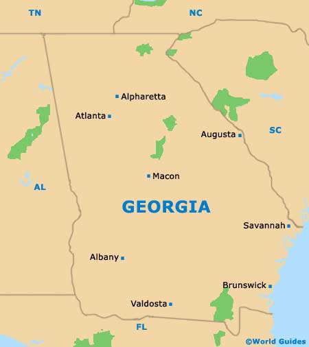
Georgia Map
Savannah Map